Aleksei Adamovich, a researcher of ancient documents and author of the book “Jan Nieprecki and the Map of the GDL”, led a historical journey from the earliest documents containing references to Belarusian lands to the crown jewel of medieval cartography — the Radziwiłł map of 1613. This map was acquired thanks to the Belarusian Patrons Club, a community of engaged individuals operating under the Belarusian Cultural Council who invest in Belarus’s future. Visitors to the lecture had the unique opportunity to see the original map.
Adamovich spoke about five key stages in the history of Belarusian cartography, how Gerard Mercator viewed the world, who Jan Nieprecki was, why he created the GDL map, and the role of the Jesuits. The lecture revealed who first “drew” the Grand Duchy of Lithuania, why ancient maps were not only about geography but also ideology, politics, art, and the contemporary equivalent of Wikipedia, and how Belarus was perceived in the eyes of Europe.
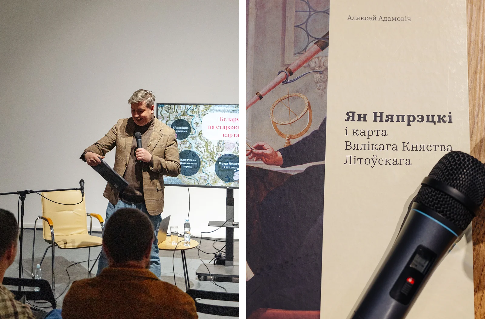

Yes, on the 1613 Radziwiłł document, there is the town of Sokal, depicted with smoke rising from its buildings, because at the time the map was created, the town had already been burned during military conflicts. However, preserving information about it was considered important. Today, you can locate Sokal on the map and learn about its history. The map also contains small 17th-century notes about the lands and population.
This lecture was recorded so that later anyone interested could listen to it and view the presentation to learn more about their own history and the old techniques of gathering information about their homeland. We will publish these materials on the website and social media of the Belarusian Cultural Council within a month.

Original article: Belarusian Cultural Council